Reporting
The Australian Grinding Company has adopted a field data capture solution to replace paper processes with spatially accurate data collection.
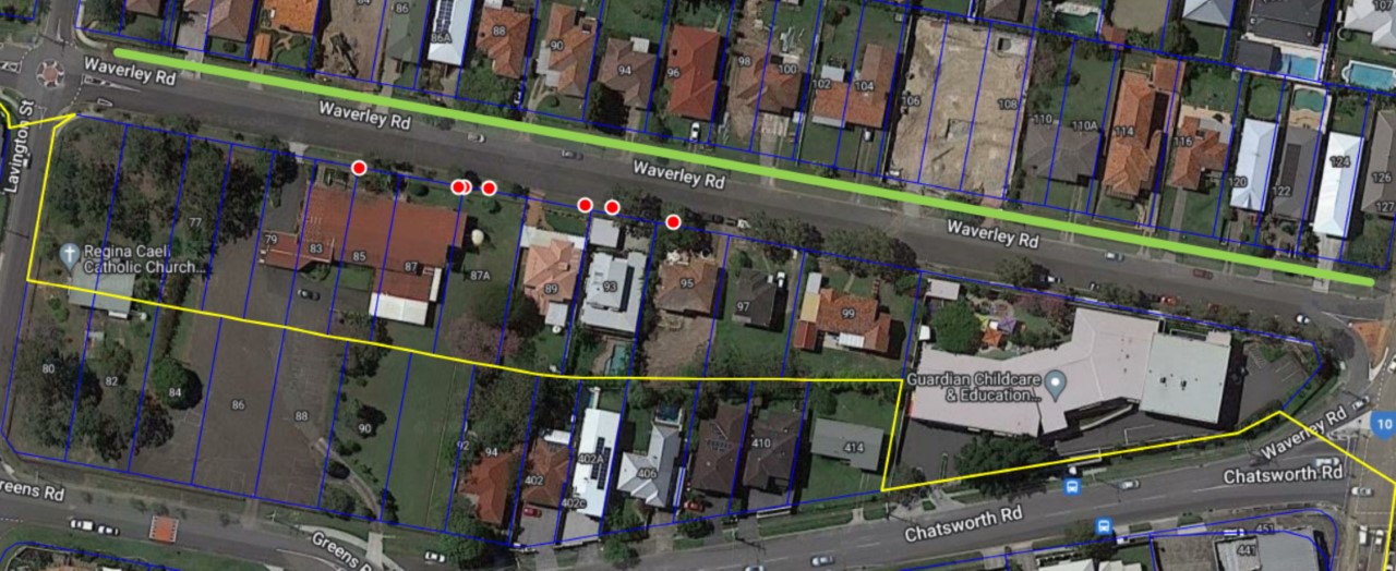
Our crews capture the grinding data in the field via tablets and this data is available for export in standard database transfer formats, including all GIS formats, ready for corporate distribution (import straight into Council Asset Management Systems).

Our system provides Councils across Australia with superior management reporting through a visual display (richer & more accurate data), as well as in-depth data on areas requiring additional maintenance (photos from site can be imbedded into the record for ease of identification/provides GPS linking to positively identify work sites). Only The Australian Grinding Company provides such a sophisticated reporting option to Council, allowing for smoother, more efficient workflow and planning, combined with the capability to issue work requests straight to field devices.
Key Benefits
- Data is available for export in standard database transfer formats, including all GIS formats, ready for corporate distribution – import straight into your Asset Management system
- Smoother, more efficient workflow and planning
- Capability to issue work requests straight to field devices
- Enables photo to be embedded into record for ease of identification (exported reports will include photo as a thumbnail)
- Spatial datasets can be imported in common GIS formats (Shape, Esri, MapInfo, GeoJSON, CSV) or created from scratch
- Provides GPS linking to positively identify work sites
- Provides superior management reporting through visual display (richer & more accurate data)
- Ability to filter, sort & search data with greater speed and accuracy
